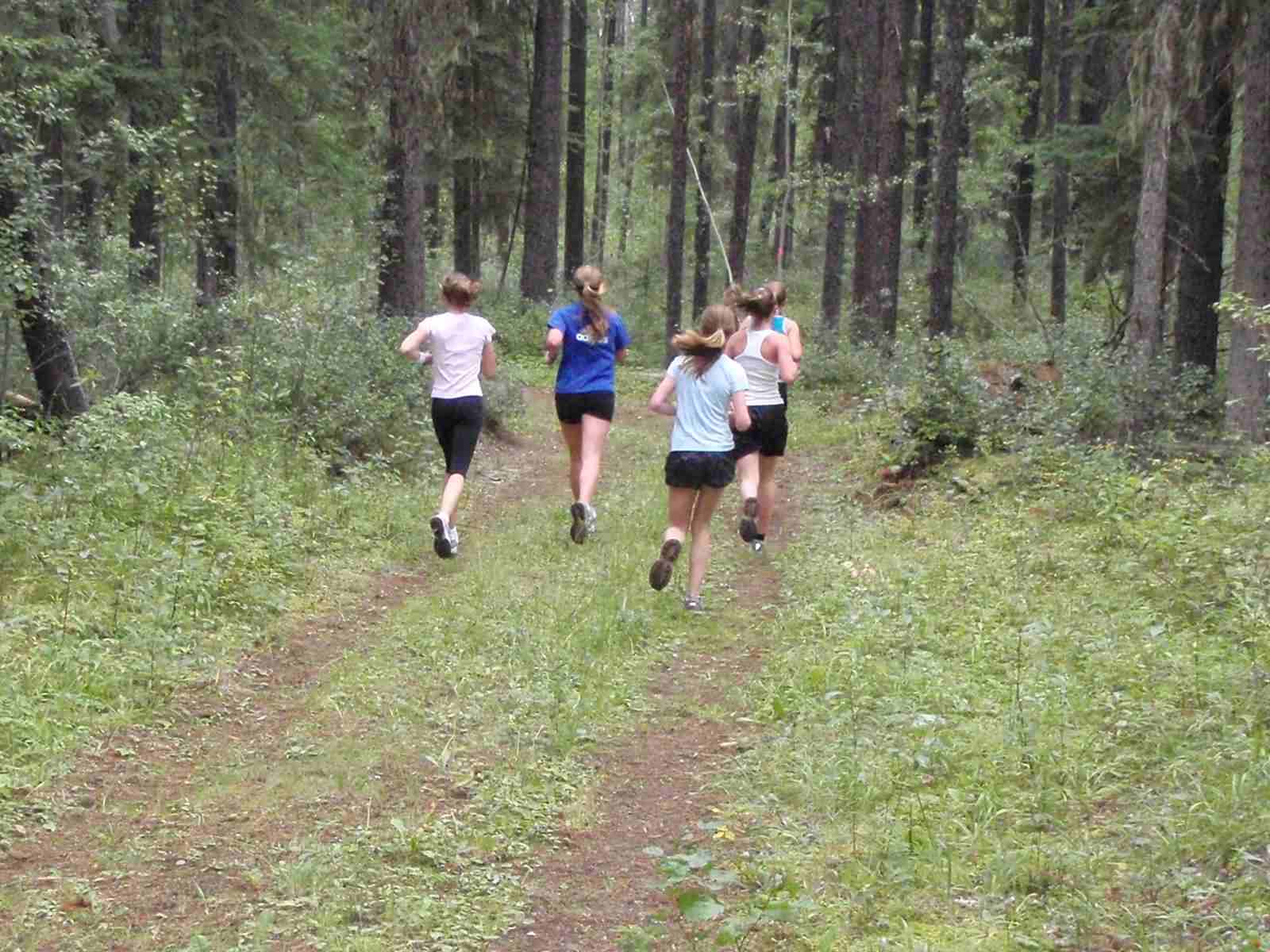
So many scenic runs to enjoy within the Tumbler Ridge Global Geopark
There are many great trail running routes that are right on the outskirts of town, so you can easily run to the trailhead from wherever you are staying.
The Tumbler Point Trail is a favourite among locals. The TR Trail links many of these trails together for a challenging 28 km run, and has multiple access points.
The Murray Canyon Overlook and Tepee Falls trails are both excellent for trail running at 6 km each, and are a 25 minute drive from town.
Bergeron Falls is a great running trail to the highest accessible waterfall in the area. Drive or bike to the trailhead, 16 km from town. You can combine this with the Bergeron Cliffs trail for an even more adventurous run.
All of these trail runs lead to Geosites within the Tumbler Ridge Global Geopark
Many of the trails are on the outskirts of town, so you can bike right from your door. Most of these trails are also hiking routes, so please be aware of and watch for walkers and runners as well as occasional stairs on steeper pitches.
Tumbler Point Trail
This trail is a favourite among locals. It links to our 28 km TR trail, and has multiple access points.
5 km Road Running Route
The circuit of Mackenzie Way, Willow Drive, Monkman Way and Hwy 29 is a great flat running route that is 5 km long. The Hwy 29 section has street lights on it, so the entire route is lit at night.
10 km Road Running Route
For a 10 km running route, head north on Mackenzie Way and turn right onto Hwy 52. This highway has very little traffic. It does have an uphill section followed by a long flat, then a downhill section before it comes to a T junction at Hwy 29. Turn right here, run past the first entrance to town (Mackenzie Way), and turn right into town on Monkman Way. Take the first right onto Southgate, and follow this road back to your starting place.
Trail Running Routes Close to Tumbler Ridge
The Murray Canyon Overlook and Tepee Falls trails are both excellent for trail running at 6 km each, and are a 25 minute drive from town.
Bergeron Falls is a great running trail to the highest accessible waterfall in the area. Drive or bike to the trailhead, 16 km from town. You can combine this with the Bergeron Cliffs trail for an even more adventurous run. All of these trail runs lead to Geosites within the Tumbler Ridge Global Geopark.
For more information, please contact the Tumbler Ridge Visitor Information Centre at 250-242-3123
No nearby trails listed.